What Is a Scenic Byway? An Explainer for Travelers Who Hate Interstate Highways
There’s a moment on almost every long interstate drive when the road stops feeling like travel and starts feeling like a conveyor belt. The exits blur. The food tastes the same. The view is the back of a truck. A scenic byway is the corrective: a road chosen for what happens beside it, not just how efficiently it moves you from one city to another.
“Scenic byway” can sound like tourism-board language, but it is a practical label. It tells you that a road has been recognized for scenery, history, culture, nature, recreation, or archaeology—and that someone, somewhere, thinks the drive itself deserves time. The trick is learning which byways are worth your limited days and how to fit them into a trip without turning a relaxed drive into a forced march.
What a Scenic Byway Actually Is
A scenic byway is a road or connected route with a distinct identity. In the United States, byways can be designated at the national, state, or local level. National designations include National Scenic Byways and All-American Roads, which recognize routes for qualities such as natural beauty, history, or cultural significance. State and local programs use similar ideas with their own rules. Elsewhere, you’ll find equivalents called scenic routes, tourist roads, or heritage trails.
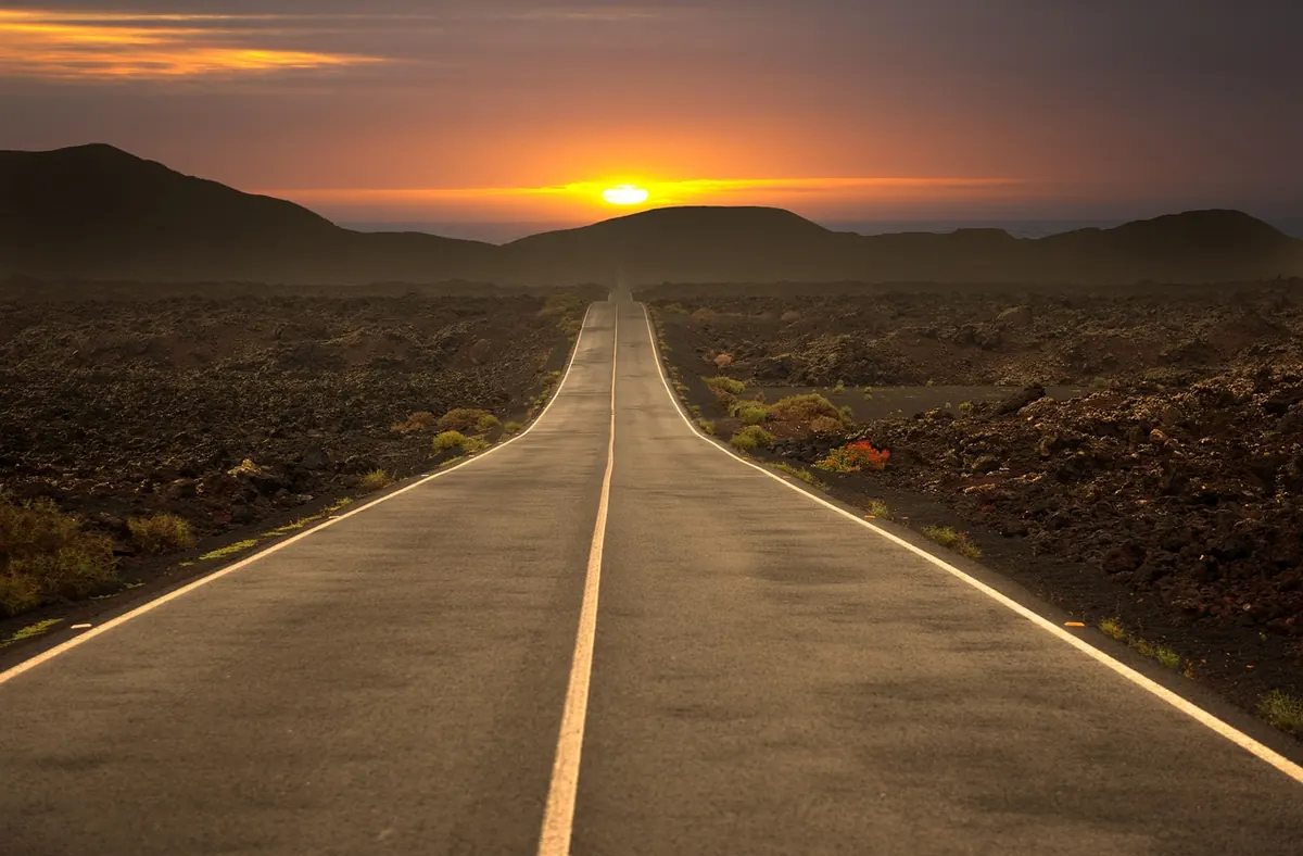
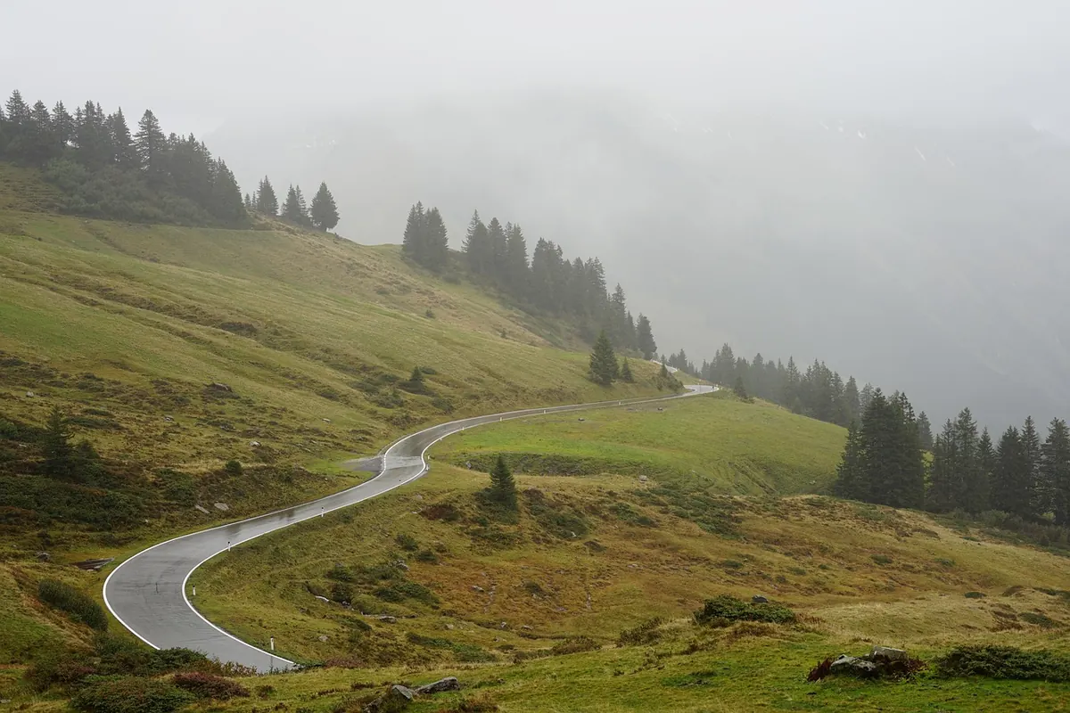
The designation is not a promise that every mile is a postcard. It is more like a recommendation with a theme. One byway might follow a river through farmland; another climbs a mountain pass; another traces an old trading route. Some are paved parkways. Some are narrow, winding, and slow. A few include unpaved sections. That variety is the point—and the reason you need to read beyond the label before you commit.
How to Spot a Byway Worth Driving
Not every road with a “scenic” sign deserves a detour. The good ones usually give you a clear answer to a simple question: what will I remember? A ridge line, a canyon, a river valley, a stretch of old roadside architecture, a working farm landscape, a historical corridor—something specific.
- A reason to stop. Can you name three places along the route you’d actually pull over for? If not, it may be a pleasant connector rather than a destination.
- A realistic length. Twenty miles can be a lovely afternoon. Two hundred miles of two-lane road can be a full day or more. Check the official map, not just the distance.
- The surface and season. Paved or unpaved? Open year-round? Prone to snow, flooding, or heat closures? A byway that is glorious in autumn may be closed or miserable in winter.
- Services. Gas, food, water, restrooms, and lodging can be sparse. Carry more than you think you need, especially on remote stretches.
- Your vehicle and comfort level. Narrow shoulders, steep grades, and twisty sections are not for every driver or every rig. Check restrictions for RVs and trailers.
A useful test: open the official byway map and look for the entrance and exit points. If you can’t tell where you’d join, leave, or find fuel, that’s a sign to do more planning before you go.
Byway Versus Highway: Compare the Whole Drive
The interstate is built for distance. A byway is built for attention. That difference changes your math. A route that looks short on a map may take much longer than expected because the road curves, climbs, passes through small towns, or invites stops. That is not a flaw; it is the product. But it does mean you should compare byways using the right measures.
Drive time, not just mileage
On a mountain road or a shoreline route, a hundred miles can take far longer than a hundred miles of interstate. Add time for photo stops, short walks, lunch in a town, and the inevitable slow vehicle ahead. If you’re towing a trailer or driving a large RV, add more.
The boring details matter
Check the road surface, seasonal closures, construction, tolls, permits, and any park reservations. Look at the weather forecast for the corridor, not just your starting city. Check daylight: a byway at dusk is beautiful until the wildlife starts moving and the services disappear.
Traffic and timing
Popular byways are popular for a reason. Weekend afternoons in leaf season, summer holidays, and clear autumn days can turn a quiet road into a queue. Going early or late—or choosing a weekday—often makes more difference than finding a secret route.
How to Route a Byway Into a Road Trip
The easiest mistake is treating a byway as a shortcut. It isn’t. Treat it as a destination that happens to connect two places. Start with the byway, then build the trip around it.
- Choose the corridor. Pick a byway that fits your direction of travel, or make it the reason for the trip. A loop is often better than an out-and-back if you want variety.
- Read the official map. Note entrances, exits, visitor centers, closures, and services. Save an offline copy or carry a paper map; signal can vanish.
- Set a realistic daily pace. Plan fewer miles than you would on highways. Leave room for an unplanned stop or a slow section.
- Choose overnight stops that break the drive naturally. A town near the middle of the byway can be more satisfying than a chain hotel beside the interstate.
- Set GPS waypoints. If you only enter the final destination, the routing may pull you back to the fast road. Add the byway entrances and key towns as stops.
- Identify bailout points. Know where you can rejoin a highway if weather turns, you run late, or the road is busier than expected.
Then loosen the plan. The best byway days usually include one stop you didn’t research: a farm stand, a courthouse square, a trailhead, a diner with a parking lot full of local trucks. Build in enough slack to say yes.
Common Mistakes to Avoid
Don’t assume a byway is open just because it is designated. Don’t drive remote sections on a fuel gamble. Don’t schedule a byway for the last hours of daylight when you’re tired and the wildlife is active. Don’t rely on a phone to find the next gas station in a dead zone. And don’t overplan every stop; a byway is not a checklist. It is a road with a point of view.
Also, don’t confuse “scenic” with “empty.” Some byways pass through working communities where you are a guest. Drive slowly through towns, respect private property, and use turnouts when you want to take in the view. That courtesy is part of the experience.
A Simple Plan for Your First Byway Day
Pick one byway within a reasonable drive of home or your route. Read the official map. Check road conditions, weather, daylight, and fuel stops. Plan two or three stops you genuinely want to make, plus one flexible hour. Start early, set waypoints, and carry water and a paper map. If the road is crowded, don’t chase every viewpoint; choose a short walk or a side street instead. End before you’re exhausted.
You don’t have to abandon interstates forever. Use them to get to the good part. Then take the road that makes the trip worth remembering.
Photo: Simoooooooonn / Pixabay